How many ways can you experience an Iron Age Roundhouse in 3D?
Quite a few actually!


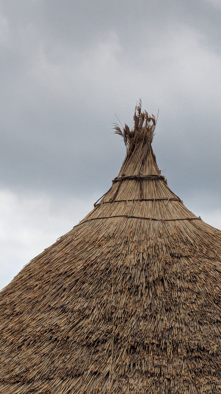
You may remember that I paid a visit to a local historical site and made some 3D captures of the in-progress reconstruction of an Iron Age roundhouse. Well I’ve been back to the site and during better weather (and with a bit more planning) I captured a more complete scan of the exterior. Then I had some fun…
A whole new scan.
After my last capture, I realised that capturing the complete roundhouse from the ground would be tricky without the ability to elevate my camera. As I don’t own a drone I had to resort to something a little less high tech: a camera on a pole.
I own this microphone boom pole from a previous life as a sound recordist, and as my Canon G7X camera isn’t too heavy (302 grams) I was able to hoist the device 5 metres into the air fairly easily. Even so, things were still a little bit wobbly.
I could trigger the shutter from my smartphone using the Canon Camera Connect app over a direct wifi connection, which also gives you a preview of the viewfinder. It’s all pretty basic, but it does the job!
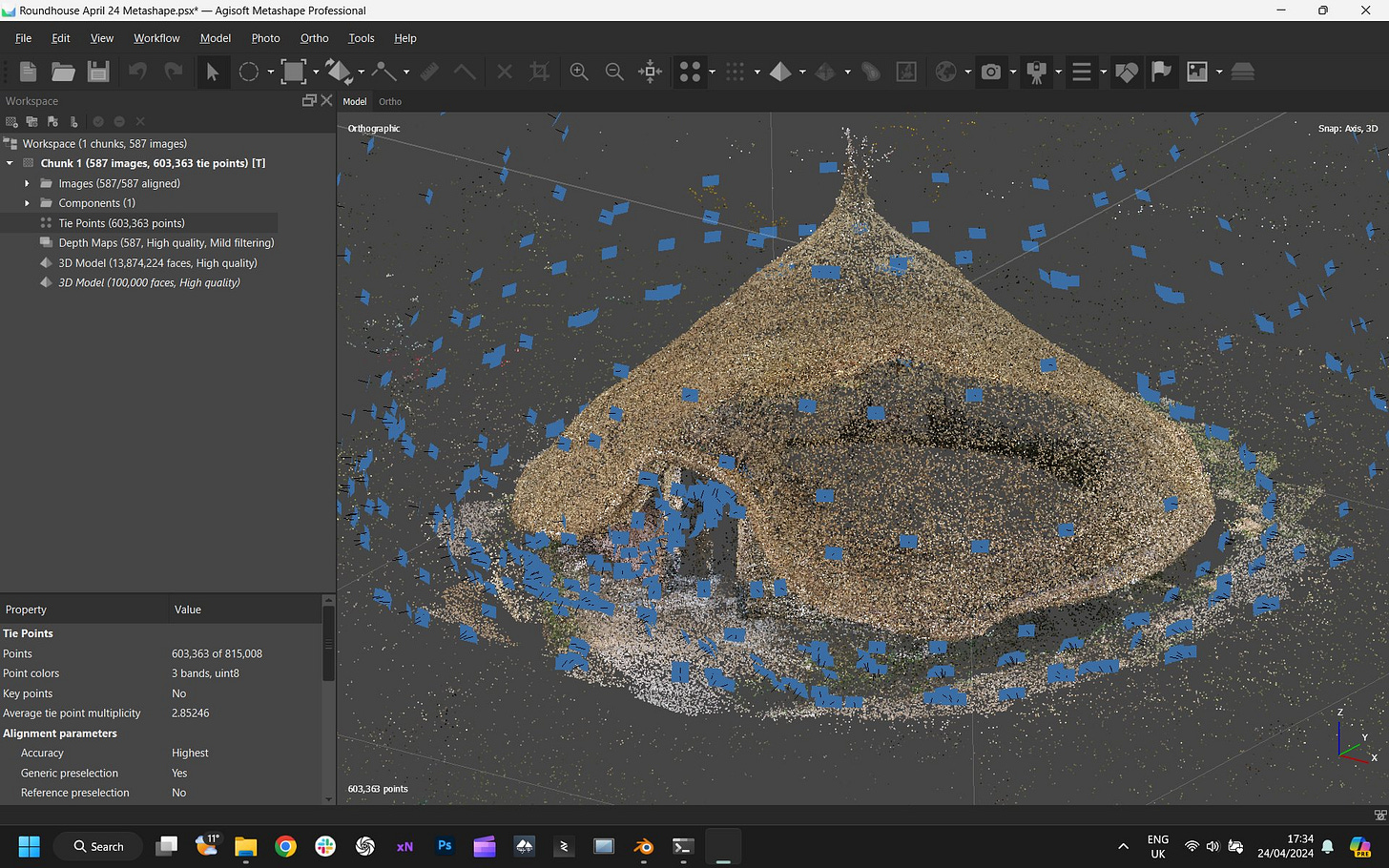
All in all I captured 587 images in just under one hour of shooting, then processed the set in Metashape (I had issues aligning using RealityCapture), finally making some basic cropping edits in Blender.
Bonus: a quick splat
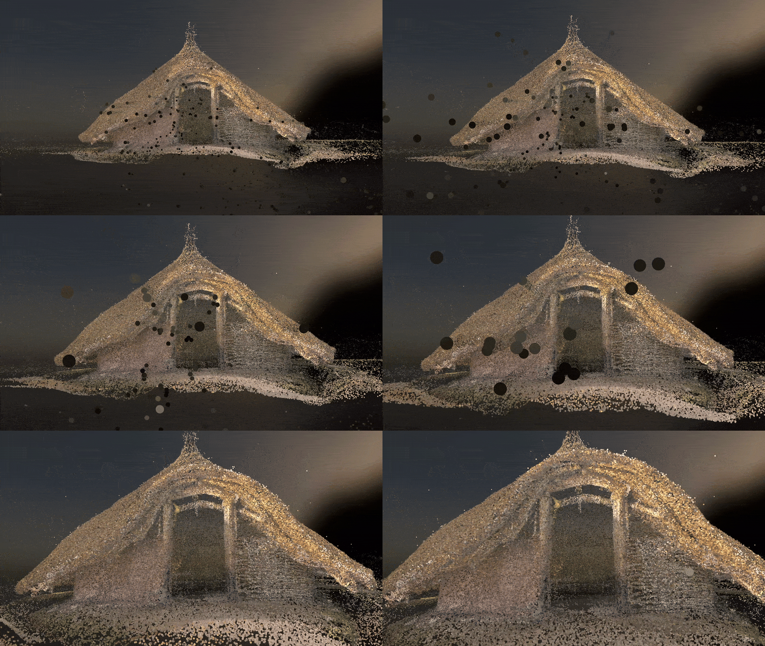
The iOS 3D scanning app Scaniverse, recently added support for capturing gaussian splats. The resulting 3D scene is a little noisy with lots of ‘floaters’ from the sky but still pretty neat IMO, for under 2 minutes of capture time.
Time for some fun.
While capturing the roundhouse and processing the 3D model is rewarding in itself, the possibilities to use and re-use the data are even more exciting (for a nerd like me).
Reaching online audiences with Sketchfab
You can explore and download the output mesh model as well as a point cloud on Sketchfab.
If you can think of a better place to publish 3D data online, I am ready to hear it :) Of course Sketchfab is no replacement for a proper data repository (…and the core product has not been updated in some time …and the impending transformation into Fab is a bit of an unknown for the cultural heritage community) but, honestly, the more I explore self hosting of 3D, the more impressed I am by the product that the Sketchfab team has built.
Bonus: taking the roundhouse to the beach.
The roundhouse is located inland facing north, away from the sea ...so using Sketchfab’s AR view, I took it to the beach to enjoy the sunset view 🌊😌🌅.
Exploring visualisation with Twinmotion
Twinmotion is a piece of visualization and rendering software based on Unreal Engine - it has all the power of that game engine’s rendering capabilities, but with a much more non-game-developer-friendly user interface and user experience.
Primarily intended for use in the architectural industry, Twinmotion has an impressive array of tools for importing 3D models, adding landscapes, scenery, vegetation, setting lighting, weather conditions, and more.
Once you get the hang of using the app it is very easy to create some great looking images and video renders: I created the scenes shown in the video above in about an hour or two.
After exporting my rendered videos, I added some sound suitable recordings from my personal Freesound library for a little more ambiance. While none of what I created is backed by academic research, I hope I have demonstrated the possibilities of adding some life and context to a 3D scan.
Geolocation with Cesium
Cesium is a platform for geospatial 3D, one of the biggest players in fact and (as far as I can see) the most easy to use for creating online content. While there is a whole lot more to the platform than I will write here, the main affordance of Cesium for me is to plonk a 3D model somewhere on a 3D globe, and share a link.
I used Cesium Stories to create the demo here. This free service lets you import 3D data (which Cesium then automatically optimises, compresses, and tiles), place it precisely on a 3D globe, and create a step by step realtime 3D tour for your end user.
You can try the simple experience shown in the video yourself here.
Interactive AR with Adobe Aero
Aero is part of the Adobe suite of 3D tools, designed for authoring interactive augmented reality content. I use italics there because this differs quite a bit from the simple Sketchfab AR demo shown earlier in this article.
I’ve only just started using Aero, but my impression is that it is quite a capable app with a fairly intuitive user interface and ‘behaviours’ node system for no-code programming of interactivity.
In my first few minutes using the app I was able to load two versions of my roundhouse scans (one before thatching, one after) and program a tap interaction that would fade between the two scans. Duplicating the project meant I could publish it both anchored to a generic horizontal surface, as well as anchored to an image (I used this image from Wikimedia Commons for my test), which worked pretty well on a secondary phone screen.
When loading the the scenes on my Android phone I was prompted to use Adobe Aero via ‘app on demand’, which meant I did not need to install anything to view it (on my iOS device I already have the Aero mobile app installed). Pretty neat!
Manipulating in VR with Spatial.io
Spatial.io bills itself as “Spatial is a 3D gaming hub where creators craft and share immersive social experiences for web, mobile, and VR”. I knew I wanted to try loading my roundhouse scans and manipulating them (picking them up, scaling them, moving around them, etc.) in VR on my Quest 3, but I have yet to find a simple (and free) “3D model viewer” app.
I remembered Spatial from my days at Sketchfab (a 3D model import integration exists), and figured I’d give it a go. As well as creating and publishing your own spaces and content, you can explore other user generated content via a search/discovery system in app. It’s all a bit like Mozilla Hubs (R.I.P), but a bit more game-ified.
I was able to search for my roundhouse model on Sketchfab, import it (with attribution), ‘hold’, scale, and move the model using hand tracking and view it from different angles by moving my head about the place.
There’s lots to like about the tech going on here (for the most part it just works™), but I also received an alarming warning when I tried to connect my Google Drive: “This app is blocked. This app tried to access sensitive info in your Google Account. To keep your account safe, Google blocked this access.” So… I’m not sure if I can confidently recommend this app at the moment.
What’s next?
These are just a few ways that it’s possible to use and re-use a piece of 3D data within the context of education and engagement and hope this post has given you some ideas for your own work.
I really enjoy exploring new platforms and services to share with you so do let me know what you think!


